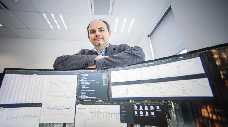
Changes embedded in the history of the development of the humankind are a consequence of an increasing rate of manufacturing and hence a growing demand for heat and electricity. What we breathe is also affected by systematic population growth and population density levels in a given area and the development of the so-called urban fabric in cities and rural areas. Mind you, the quality of air should be considered not only globally, but also on a continental, national, and local scale because even singular deviations or anomalies can affect the environment on different scales and at different times.
So, the quality of air both in the Łódź agglomeration and in other regions of Poland depends on the volume of pollutant emissions, the intensity and type of physical and chemical processes occurring in the atmosphere and large-scale circulation of polluted air masses. Air is an element of the natural environment that cannot be protected with any natural barriers and therefore it is necessary to control and analyze the effect individual pollutants have not only on a global scale but also on a national and local ones. The following are the most serious pollutants emitted into the atmosphere today:
- sulphur dioxide,
- nitrogen oxides,
- carbon monoxide,
- particulate pollution, which means PM2.5 and PM10.
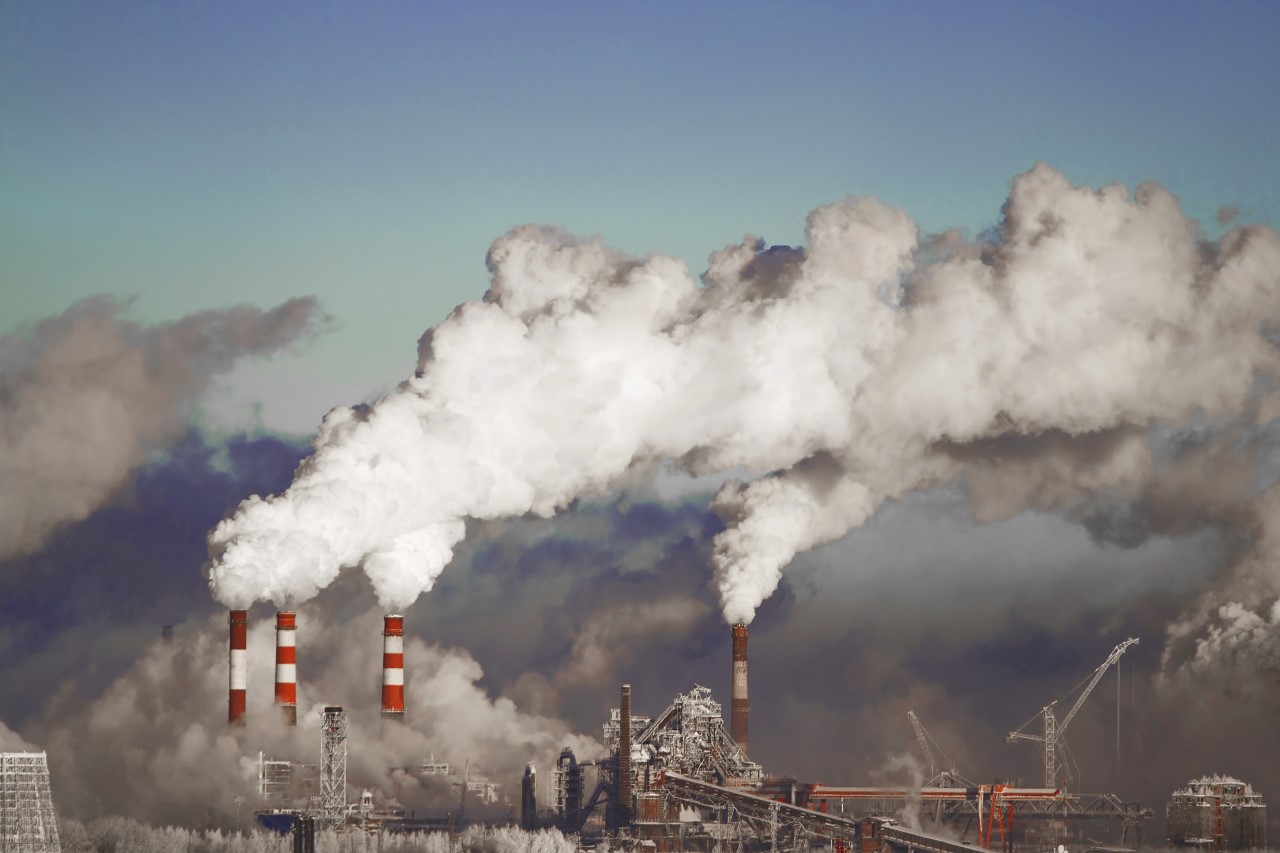
Increased levels of these compounds are mainly due to low emissions that mainly involve road transport, household and municipal sector, including off-grid heating. At the same time, a large proportion of air pollution in cities is also caused by total or partial obstruction of previously existing "city ventilation corridors", i.e. aeration wedges (open space/green belts) that used to facilitate air exchange. As a consequence, high density high-rise development results in accumulation of harmful substances in central areas of the city.
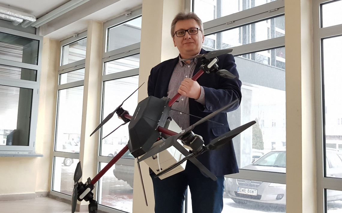
TUL's drone to help with air quality measurements
The aim of the project we are currently carrying out is to take a series of measurements in selected areas of the Łódź agglomeration that will allow us to analyze spatial variation in air pollution. To this end, mobile measurement and sampling equipment fitted with pollution sensors is used (PM1, PM2.5, PM10, VOCs POD, O3 i NO2, formaldehyde, TRS and amines, NO, NO2,
NH3, CO2, CO, H2S, organic solvents, O2, SO2 and odors) that have been designed to be carried by remote-controlled drones. This makes it possible to:
- perform measurements/scientific research and subsequently analyze them in relation to the distribution of air pollution in the Łódź agglomeration;
- obtain data/information on fluctuations in the concentration of the above mentioned pollutants along with their altitude, and on this basis determine the correlation between the location of industrial plants, public utility buildings, and residential buildings, and the exposure of people to airborne agents harmful to their health and well-being;
- preliminarily determine - based on the changes in pollution levels and their altitude, possible correction coefficients' values to adjust the results quoted by the measurement stations of the Voivodeship Inspectorate of Environmental Protection (this will allow e.g. residents of a given building floor to interpret the official pollution results more precisely);
- compare measurement data with results generated by specialized simulation/computation programs;
- precisely measure selected momentary spikes in pollution concentration at specific/vulnerable spots in the city depending on how high above the ground they are or depending on their distance (horizontal or vertical radius) from spot pollution emitters (identify potential "low emission" sources);
- analyze momentary spikes in pollutant concentration along pedestrian and motor vehicle communication routes.
With the use of mobile metering and sampling equipment:
- we will have a better understanding of pollution levels,
- information from spot metering stations of the Voivodeship Inspectorate of Environmental Protection (WIOŚ) will be fuller,
- we will be able to verify simulation data and interpret pollution fluctuations.
The studies are being carried out under a research grant Analiza przestrzenna zmian stanu zanieczyszczenia powietrza w aglomeracji łódzkie (Spatial analysis of changes in air pollution in the Łódź agglomeration) that is scheduled to be completed by the end of 2020. (80% of the funding is provided by the Voivodeship Fund for Environmental Protection and Water Management in Łódź whereas 20% by the Institute of Environmental Engineering and Building Installations of Lodz University of Technology).